
Foul Bay topographic map
Interactive map
Click on the map to display elevation.
About this map
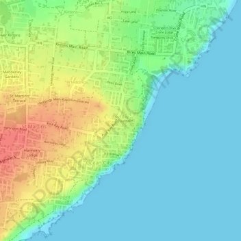
Name: Foul Bay topographic map, elevation, terrain.
Location: Foul Bay, Saint Philip, Barbados (13.08871 -59.46411 13.10356 -59.44863)
Average elevation: 21 m
Minimum elevation: 0 m
Maximum elevation: 59 m