
沙市镇 topographic map
Interactive map
Click on the map to display elevation.
About this map
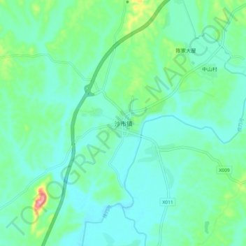
Name: 沙市镇 topographic map, elevation, terrain.
Location: 沙市镇, 浏阳市, 湖南省, 中国 (28.30800 113.38571 28.38800 113.46571)
Average elevation: 83 m
Minimum elevation: 56 m
Maximum elevation: 187 m
Other topographic maps
Click on a map to view its topography, its elevation and its terrain.