
紅瓦厝 topographic map
Interactive map
Click on the map to display elevation.
About this map
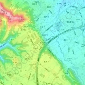
Name: 紅瓦厝 topographic map, elevation, terrain.
Location: 紅瓦厝, 上林里, 龍潭區, Taoyuan, 325, Taïwan (24.83403 121.18193 24.87403 121.22193)
Average elevation: 274 m
Minimum elevation: 215 m
Maximum elevation: 399 m