
莲花街道 topographic map
Interactive map
Click on the map to display elevation.
About this map
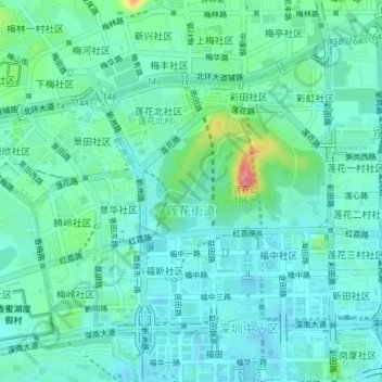
Name: 莲花街道 topographic map, elevation, terrain.
Location: 莲花街道, District de Futian, Shenzhen, Guangdong, 518000, Chine (22.54155 114.02518 22.56836 114.06277)
Average elevation: 21 m
Minimum elevation: -2 m
Maximum elevation: 103 m