
Flacht topographic map
Interactive map
Click on the map to display elevation.
About this map
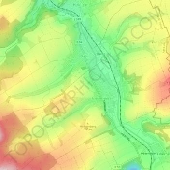
Name: Flacht topographic map, elevation, terrain.
Average elevation: 177 m
Minimum elevation: 66 m
Maximum elevation: 297 m
In unmittelbarer Nähe zum Bahnhof verlaufen der Aar-Höhenweg und der Aartal-Rad- und Wanderweg.