Geolocate

Poço Azul topographic map

Click on the map to display elevation.

About this map
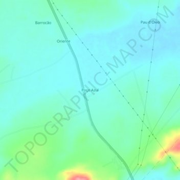
Name: Poço Azul topographic map, elevation, terrain.

Location: Poço Azul, Riachão das Neves, Região Geográfica Imediata de Barreiras, Região Geográfica Intermediária de Barreiras, Bahia, Região Nordeste, Brasil (-11.85167 -44.87490 -11.81167 -44.83490)

Average elevation: 485 m

Minimum elevation: 465 m

Maximum elevation: 564 m

Other topographic maps

Click on a map to view its topography, its elevation and its terrain.

Cariparé

Brasil > Bahia > Riachão das Neves

Average elevation: 700 m

Gear up for your next adventure:

⌚Altimeter Barometer Watches - Outdoor watches with built-in sensors to track altitude changes and weather shifts
📕Hiking Guide Books - Guides for hiking trails
🚁Camera Drones with GPS - Capture aerial views of the landscape to compare with topo maps
🔪Camping Knives - Multi-purpose outdoor knives
⌚GPS Watches - GPS watches for outdoor sports

As an Amazon Associate, this site earns from qualifying purchases at no extra cost to you.