
Tyresta by topographic map
Interactive map
Click on the map to display elevation.
About this map
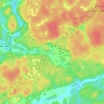
Name: Tyresta by topographic map, elevation, terrain.
Location: Tyresta by, Haninge, Stockholms län, Svealand, 136 70, Zweden (59.14779 18.21890 59.18779 18.25890)
Average elevation: 49 m
Minimum elevation: 19 m
Maximum elevation: 76 m