
Stelle topographic map
Interactive map
Click on the map to display elevation.
About this map
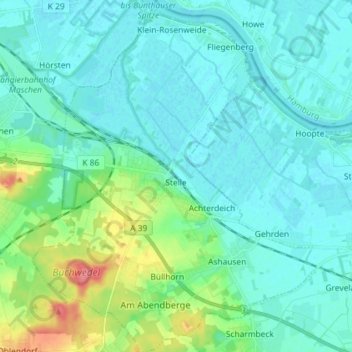
Name: Stelle topographic map, elevation, terrain.
Location: Stelle, Harburg, Nedersaksen, 21435, Duitsland (53.34111 10.05623 53.42741 10.17358)
Average elevation: 13 m
Minimum elevation: -1 m
Maximum elevation: 69 m