
Aradas topographic map
Interactive map
Click on the map to display elevation.
About this map
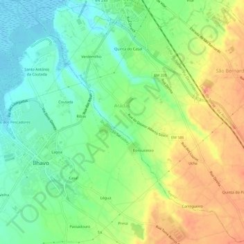
Name: Aradas topographic map, elevation, terrain.
Location: Aradas, Aveiro, Portugal (40.58630 -8.66911 40.62793 -8.61327)
Average elevation: 27 m
Minimum elevation: -2 m
Maximum elevation: 61 m