
Laguna Saytococha topographic map
Interactive map
Click on the map to display elevation.
About this map
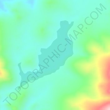
Name: Laguna Saytococha topographic map, elevation, terrain.
Average elevation: 4,272 m
Minimum elevation: 4,211 m
Maximum elevation: 4,422 m
Other topographic maps
Click on a map to view its topography, its elevation and its terrain.
Laguna Saracocha
Perú > Puno > Cabanillas
Laguna Saracocha, PE-34C, Cabanillas, San Román, Puno, Perú
Average elevation: 4,231 m
Laguna Maquera
Perú > Puno > Cabanillas
Laguna Maquera, PU-1088, Cabanillas, San Román, Puno, Perú
Average elevation: 4,205 m