
Spring Branch topographic map
Interactive map
Click on the map to display elevation.
About this map
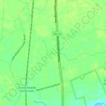
Name: Spring Branch topographic map, elevation, terrain.
Location: Spring Branch, Kent County, Delaware, 19943, VS (38.99230 -75.57210 38.99242 -75.56873)
Average elevation: 16 m
Minimum elevation: 7 m
Maximum elevation: 20 m
Other topographic maps
Click on a map to view its topography, its elevation and its terrain.
Penn Acres South
VS > Delaware > Penn Acres South
Penn Acres South, New Castle County, Delaware, 19720, VS
Average elevation: 12 m