
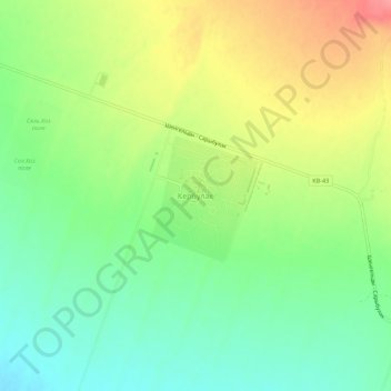
Кербулак topographic map
Interactive map
Click on the map to display elevation.
About this map
Name: Кербулак topographic map, elevation, terrain.
Location: Кербулак, Конаев, Алматинская область, Казахстан (43.91541 77.57788 43.95541 77.61788)
Average elevation: 543 m
Minimum elevation: 508 m
Maximum elevation: 590 m