
Canhestros topographic map
Interactive map
Click on the map to display elevation.
About this map
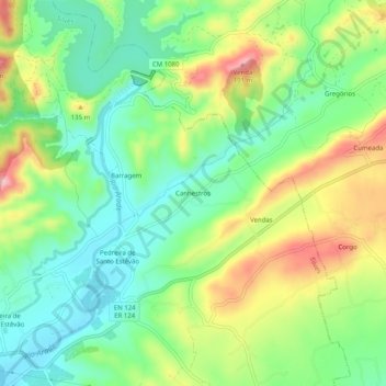
Name: Canhestros topographic map, elevation, terrain.
Location: Canhestros, Silves, Faro, Portugal (37.20726 -8.38868 37.24726 -8.34868)
Average elevation: 80 m
Minimum elevation: 13 m
Maximum elevation: 188 m