
Gaito topographic map
Interactive map
Click on the map to display elevation.
About this map
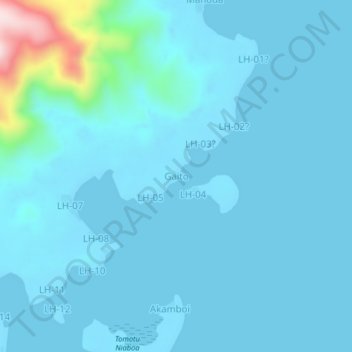
Name: Gaito topographic map, elevation, terrain.
Location: Gaito, Temotu, Isole Salomone (-10.72392 166.11448 -10.68392 166.15448)
Average elevation: 32 m
Minimum elevation: -1 m
Maximum elevation: 380 m