
Capitol Gorge topographic map
Interactive map
Click on the map to display elevation.
About this map
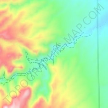
Name: Capitol Gorge topographic map, elevation, terrain.
Location: Capitol Gorge, Wayne County, Utah, Verenigde Staten (38.20931 -111.16706 38.22294 -111.13828)
Average elevation: 1,737 m
Minimum elevation: 1,594 m
Maximum elevation: 1,954 m