
Sungai Kapitan topographic map
Interactive map
Click on the map to display elevation.
About this map
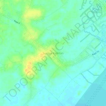
Name: Sungai Kapitan topographic map, elevation, terrain.
Location: Sungai Kapitan, Central Kalimantan, 74181, Indonesia (-2.77100 111.67851 -2.73100 111.71851)
Average elevation: 10 m
Minimum elevation: 1 m
Maximum elevation: 29 m