
Kimba topographic map
Interactive map
Click on the map to display elevation.
About this map
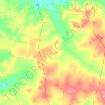
Name: Kimba topographic map, elevation, terrain.
Location: Kimba, Jega, Kebbi State, Nigeria (11.86472 4.34729 12.20355 4.57404)
Average elevation: 251 m
Minimum elevation: 191 m
Maximum elevation: 333 m