
Lake Station topographic map
Interactive map
Click on the map to display elevation.
About this map
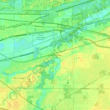
Name: Lake Station topographic map, elevation, terrain.
Location: Lake Station, Lake County, Indiana, 46405, United States (41.53504 -87.27892 41.61504 -87.19892)
Average elevation: 189 m
Minimum elevation: 176 m
Maximum elevation: 203 m