Geolocate

Ryley topographic map

Click on the map to display elevation.

About this map

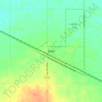
Name: Ryley topographic map, elevation, terrain.

Location: Ryley, Village of Ryley, Alberta, Canada (53.27241 -112.45825 53.31241 -112.41825)

Average elevation: 692 m

Minimum elevation: 678 m

Maximum elevation: 712 m

Gear up for your next adventure:

🎒40L Day Hiking Backpacks - Comfortable packs with hydration support for long days exploring topographic peaks
👖Convertible Hiking Trousers - Zip-off legs to adapt to changing temperatures throughout the day
🍳Camping Cookware - Cookware sets for outdoor meals
👕UPF 50+ Sun Shirts - Essential protection against the harsh Australian sun during field work
📱Tablet Tripod Mounts - Steady platforms for viewing digital maps or taking long exposures

As an Amazon Associate, this site earns from qualifying purchases at no extra cost to you.