
Lac Joseph topographic map
Interactive map
Click on the map to display elevation.
About this map
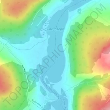
Name: Lac Joseph topographic map, elevation, terrain.
Average elevation: 232 m
Minimum elevation: 192 m
Maximum elevation: 321 m
Other topographic maps
Click on a map to view its topography, its elevation and its terrain.
Ruisseau du Petit-Kinnears
Ruisseau du Petit-Kinnears, Inverness, L'Érable, Centre-du-Québec, Québec, G0S 1K0, Canada
Average elevation: 250 m