
Horsford topographic map
Interactive map
Click on the map to display elevation.
About this map
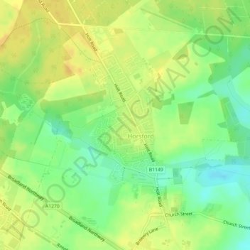
Name: Horsford topographic map, elevation, terrain.
Location: Horsford, Norfolk, East of England, England, United Kingdom (52.69003 1.23269 52.71146 1.25298)
Average elevation: 32 m
Minimum elevation: 16 m
Maximum elevation: 43 m