
Denmark topographic map
Interactive map
Click on the map to display elevation.
About this map
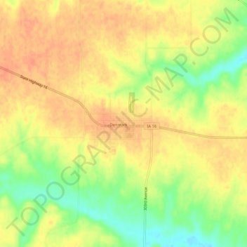
Name: Denmark topographic map, elevation, terrain.
Location: Denmark, Lee County, Iowa, 52624, United States (40.72209 -91.35416 40.76209 -91.31416)
Average elevation: 211 m
Minimum elevation: 184 m
Maximum elevation: 225 m