Geolocate

Mission topographic map

Click on the map to display elevation.

About this map

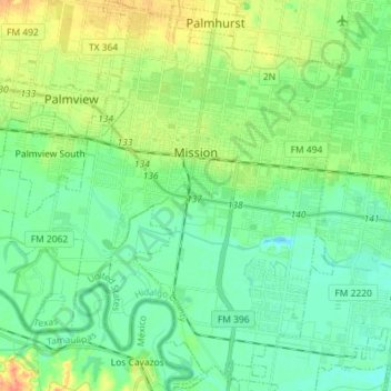
Name: Mission topographic map, elevation, terrain.

Location: Mission, Hidalgo County, Texas, United States (26.13747 -98.40783 26.26584 -98.27209)

Average elevation: 39 m

Minimum elevation: 25 m

Maximum elevation: 67 m

Gear up for your next adventure:

🔌Fast Charging Adapters - Quickly top up all your gear before heading back into the field
🦟Insect Repellent - Protection against insects
🥾Hiking Gaiters - Leg protection for trails
🧺Fast-Dry Microfiber Towels - Large towels that pack down to the size of an orange
🛌Compact Down Sleeping Bags - Warmth without the bulk, ideal for backcountry camping

As an Amazon Associate, this site earns from qualifying purchases at no extra cost to you.