
Näsberg topographic map
Interactive map
Click on the map to display elevation.
About this map
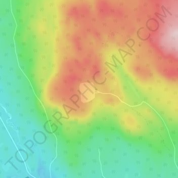
Name: Näsberg topographic map, elevation, terrain.
Location: Näsberg, Mora, Provinz Dalarna, Landesteil Svealand, Schweden (61.16173 14.38546 61.20173 14.42546)
Average elevation: 344 m
Minimum elevation: 212 m
Maximum elevation: 523 m