
Thank you for supporting this site ❤️
Make a donation
Make a donation
Gear up for your next adventure:
As an Amazon Associate, this site earns from qualifying purchases at no extra cost to you.
Schleiz topographic map
Click on the map to display elevation.
Thank you for supporting this site ❤️
Make a donation
Make a donation
Gear up for your next adventure:
As an Amazon Associate, this site earns from qualifying purchases at no extra cost to you.
About this map
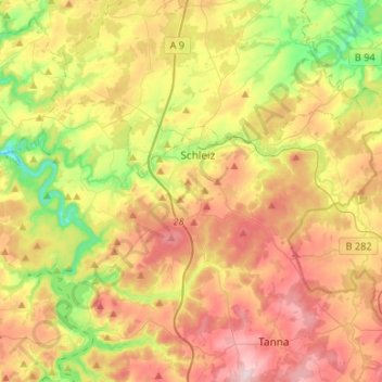
Name: Schleiz topographic map, elevation, terrain.
Location: Schleiz, Saale-Orla-Kreis, Thuringia, Germany (50.51594 11.67607 50.60710 11.94422)
Average elevation: 480 m
Minimum elevation: 324 m
Maximum elevation: 649 m
Thank you for supporting this site ❤️
Make a donation
Make a donation
Gear up for your next adventure:
As an Amazon Associate, this site earns from qualifying purchases at no extra cost to you.