Geolocate

Calstock topographic map

Click on the map to display elevation.

About this map

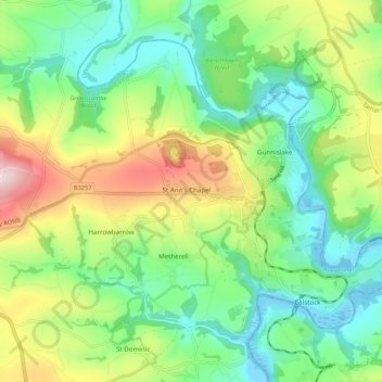
Name: Calstock topographic map, elevation, terrain.

Location: Calstock, St Ann's Chapel, Cornwall, England, United Kingdom (50.48978 -4.28786 50.54394 -4.18024)

Average elevation: 112 m

Minimum elevation: -3 m

Maximum elevation: 329 m

Gear up for your next adventure:

🧭Global Orienteering Compass - High-precision liquid-filled compasses for accurate map reading and navigation
📷Backpack Camera Clips - Quick access to your camera while keeping your hands free for climbing
🖼️Scratch-off Australia Map - Track the regions and peaks you have explored geographically
🍴Titanium Spork & Cutlery - Indestructible and feather-light eating utensils
🔭Compact Hiking Binoculars - Lightweight optics for scouting routes or birdwatching

As an Amazon Associate, this site earns from qualifying purchases at no extra cost to you.