
Western Transdanubia topographic map
Interactive map
Click on the map to display elevation.
About this map
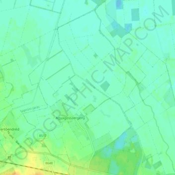
Name: Western Transdanubia topographic map, elevation, terrain.
Location: Western Transdanubia, Transdanubia, 9441, Hungary (47.58870 16.91580 47.65149 16.98246)
Average elevation: 118 m
Minimum elevation: 111 m
Maximum elevation: 136 m
Other topographic maps
Click on a map to view its topography, its elevation and its terrain.