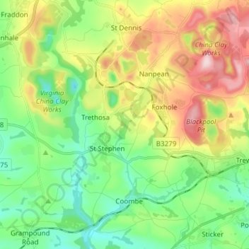
St. Stephen-in-Brannel topographic map
Interactive map
Click on the map to display elevation.
About this map
Name: St. Stephen-in-Brannel topographic map, elevation, terrain.
Average elevation: 139 m
Minimum elevation: 21 m
Maximum elevation: 344 m

Click on the map to display elevation.
Name: St. Stephen-in-Brannel topographic map, elevation, terrain.
Average elevation: 139 m
Minimum elevation: 21 m
Maximum elevation: 344 m