Geolocate

s topographic map

Click on the map to display elevation.

About this map
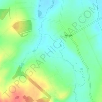
Name: s topographic map, elevation, terrain.

Location: s, Inhaúma, Minas Gerais, Southeast Region, Brazil (-19.45955 -44.39891 -19.45927 -44.39803)

Average elevation: 725 m

Minimum elevation: 698 m

Maximum elevation: 771 m

Gear up for your next adventure:

🧦Hiking Socks - Comfortable socks for long hikes
📚Map Reading & Navigation Guides - Master the art of interpreting topographic contours and symbols
🧥Softshell Jackets - Flexible outdoor jackets
🥶Thermal Beanies - Warm hats for cold hikes
🧊Insulated Cooler Bags - Keep food fresh for day trips to remote geographic sites

As an Amazon Associate, this site earns from qualifying purchases at no extra cost to you.