
Karnaprayag topographic map
Interactive map
Click on the map to display elevation.
About this map
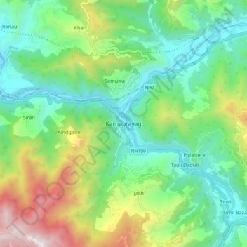
Name: Karnaprayag topographic map, elevation, terrain.
Location: Karnaprayag, Garhwāl, Chamoli, Uttarakhand, 246444, India (30.21965 79.17707 30.29965 79.25707)
Average elevation: 1,273 m
Minimum elevation: 714 m
Maximum elevation: 2,536 m