
Brazel Hill topographic map
Interactive map
Click on the map to display elevation.
About this map
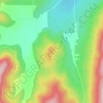
Name: Brazel Hill topographic map, elevation, terrain.
Location: Brazel Hill, Stevens County, Washington, Verenigde Staten (48.37846 -118.00725 48.37856 -118.00715)
Average elevation: 962 m
Minimum elevation: 823 m
Maximum elevation: 1,178 m