
Thank you for supporting this site ❤️
Make a donation
Make a donation
Gear up for your next adventure:
As an Amazon Associate, this site earns from qualifying purchases at no extra cost to you.
Ferme-Neuve topographic map
Click on the map to display elevation.
Thank you for supporting this site ❤️
Make a donation
Make a donation
Gear up for your next adventure:
As an Amazon Associate, this site earns from qualifying purchases at no extra cost to you.
About this map
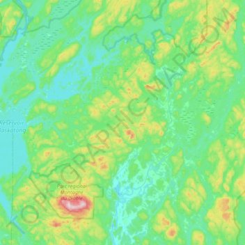
Name: Ferme-Neuve topographic map, elevation, terrain.
Location: Ferme-Neuve, Antoine-Labelle, Laurentides, Quebec, Canada (46.61483 -75.74728 47.06681 -75.29232)
Average elevation: 306 m
Minimum elevation: 208 m
Maximum elevation: 762 m
Thank you for supporting this site ❤️
Make a donation
Make a donation
Gear up for your next adventure:
As an Amazon Associate, this site earns from qualifying purchases at no extra cost to you.