
Wever topographic map
Interactive map
Click on the map to display elevation.
About this map
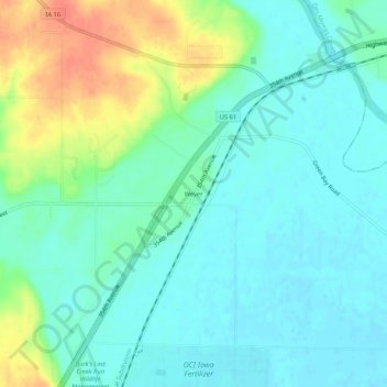
Name: Wever topographic map, elevation, terrain.
Location: Wever, Lee County, Iowa, 52658, Verenigde Staten (40.69149 -91.25043 40.73149 -91.21043)
Average elevation: 173 m
Minimum elevation: 158 m
Maximum elevation: 210 m