
25523 topographic map
Interactive map
Click on the map to display elevation.
About this map
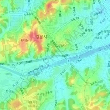
Name: 25523 topographic map, elevation, terrain.
Location: 25523, Gangneung, Gangwon, Corée du Sud (37.74791 128.88013 37.74801 128.88023)
Average elevation: 34 m
Minimum elevation: 11 m
Maximum elevation: 83 m
Other topographic maps
Click on a map to view its topography, its elevation and its terrain.