
Whalan topographic map
Interactive map
Click on the map to display elevation.
About this map
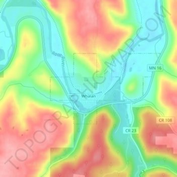
Name: Whalan topographic map, elevation, terrain.
Location: Whalan, Fillmore County, Minnesota, United States (43.72791 -91.93464 43.73871 -91.91136)
Average elevation: 284 m
Minimum elevation: 232 m
Maximum elevation: 343 m