Geolocate

Ithan topographic map

Click on the map to display elevation.

About this map

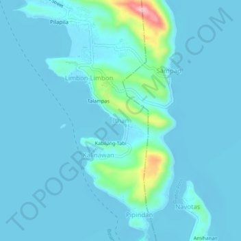
Name: Ithan topographic map, elevation, terrain.

Location: Ithan, Binangonan, Rizal, Calabarzon, 1940, Philippines (14.41237 121.19298 14.45237 121.23298)

Average elevation: 16 m

Minimum elevation: -5 m

Maximum elevation: 176 m

Other topographic maps

Click on a map to view its topography, its elevation and its terrain.

Libis

Philippines > Rizal > Binangonan

Average elevation: 10 m

Calumpang

Philippines > Rizal > Binangonan > Macamot

Average elevation: 16 m

Talim

Philippines > Rizal > Binangonan

Average elevation: 13 m

Gear up for your next adventure:

🏫Topographic World Globes - 3D physical relief globes to understand global geography
🧯Animal Deterrent Spray - Safety spray for wildlife
Altimeter Barometer Watches - Outdoor watches with built-in sensors to track altitude changes and weather shifts
🛠️Outdoor Repair Kits - Gear repair kits
👣Snake & Scrub Gaiters - Protection against spinifex, mud, and snakes while walking off-track

As an Amazon Associate, this site earns from qualifying purchases at no extra cost to you.