
Mata topographic map
Click on the map to display elevation.
About this map
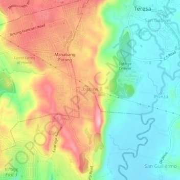
Name: Mata topographic map, elevation, terrain.
Location: Mata, Binangonan, Rizal, Calabarzon, 1670, Philippines (14.52079 121.17586 14.56079 121.21586)
Average elevation: 129 m
Minimum elevation: 32 m
Maximum elevation: 260 m
Other topographic maps
Click on a map to view its topography, its elevation and its terrain.