Geolocate

Colnbrook topographic map

Click on the map to display elevation.

About this map

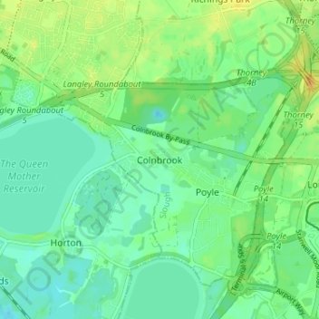
Name: Colnbrook topographic map, elevation, terrain.

Location: Colnbrook, Slough, England, SL3 0XA, United Kingdom (51.46383 -0.54414 51.50383 -0.50414)

Average elevation: 22 m

Minimum elevation: 12 m

Maximum elevation: 37 m

Gear up for your next adventure:

🌿Flora and Fauna Field Guides - Identify the plants and animals you encounter on your route
👖Convertible Hiking Trousers - Zip-off legs to adapt to changing temperatures throughout the day
🪢550 Survival Paracord - Versatile cordage for gear repair and emergency lashing
📖Australian Bush Survival Books - Local knowledge on finding water and surviving the outback
🧥Packable Rain Jackets - Breathable waterproof layers for unpredictable mountain weather

As an Amazon Associate, this site earns from qualifying purchases at no extra cost to you.