
Çayırbaşı topographic map
Interactive map
Click on the map to display elevation.
About this map
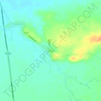
Name: Çayırbaşı topographic map, elevation, terrain.
Location: Çayırbaşı, Göle, Ardahan, Eastern Anatolia Region, Turkey (40.85693 42.60946 40.89693 42.64946)
Average elevation: 1,983 m
Minimum elevation: 1,971 m
Maximum elevation: 2,010 m