
Big Hill Lake topographic map
Interactive map
Click on the map to display elevation.
About this map
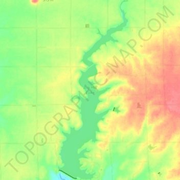
Name: Big Hill Lake topographic map, elevation, terrain.
Location: Big Hill Lake, Labette County, Kansas, United States (37.26670 -95.47214 37.33549 -95.43841)
Average elevation: 279 m
Minimum elevation: 246 m
Maximum elevation: 312 m