
Thank you for supporting this site ❤️
Make a donation
Make a donation
Gear up for your next adventure:
As an Amazon Associate, this site earns from qualifying purchases at no extra cost to you.
Midale topographic map
Click on the map to display elevation.
Thank you for supporting this site ❤️
Make a donation
Make a donation
Gear up for your next adventure:
As an Amazon Associate, this site earns from qualifying purchases at no extra cost to you.
About this map
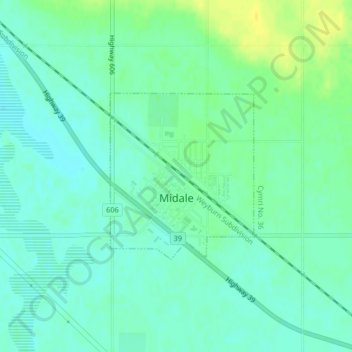
Name: Midale topographic map, elevation, terrain.
Location: Midale, Division No. 2, Saskatchewan, S0C 1S0, Canada (49.38998 -103.41921 49.40273 -103.40229)
Average elevation: 582 m
Minimum elevation: 574 m
Maximum elevation: 596 m
Thank you for supporting this site ❤️
Make a donation
Make a donation
Gear up for your next adventure:
As an Amazon Associate, this site earns from qualifying purchases at no extra cost to you.