
Elgin topographic map
Interactive map
Click on the map to display elevation.
About this map
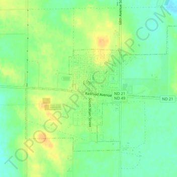
Name: Elgin topographic map, elevation, terrain.
Location: Elgin, Grant County, North Dakota, 58533, United States (46.39337 -101.85992 46.41248 -101.82487)
Average elevation: 716 m
Minimum elevation: 702 m
Maximum elevation: 731 m
Other topographic maps
Click on a map to view its topography, its elevation and its terrain.