
Leensel topographic map
Interactive map
Click on the map to display elevation.
About this map
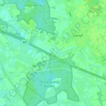
Name: Leensel topographic map, elevation, terrain.
Location: Leensel, Liessel, Deurne, Nederland, 5757 RZ, Nederland (51.38776 5.78604 51.42776 5.82604)
Average elevation: 28 m
Minimum elevation: 23 m
Maximum elevation: 35 m