Geolocate

Bourke topographic map

Click on the map to display elevation.

About this map
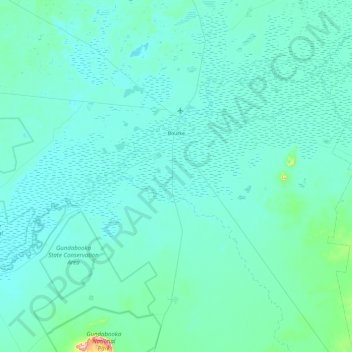
Name: Bourke topographic map, elevation, terrain.

Location: Bourke, Bourke Shire Council, New South Wales, 2840, Australia (-30.54229 145.51414 -29.84220 146.47136)

Average elevation: 117 m

Minimum elevation: 96 m

Maximum elevation: 476 m

Bourke Shire Council trails, hiking, mountain biking, running and outdoor activities

Other topographic maps

Click on a map to view its topography, its elevation and its terrain.

Gear up for your next adventure:

🦟Insect Repellent - Protection against insects
🦟Heavy Duty Insect Repellent - Essential protection against flies, mozzies, and march flies
⌚Altimeter Watches - Watches with altitude tracking
🎽Base Layers - Thermal base layers
🎒Hiking Backpacks - Backpacks designed for hiking and trekking

As an Amazon Associate, this site earns from qualifying purchases at no extra cost to you.