
Parroquia Mariscal Sucre topographic map
Interactive map
Click on the map to display elevation.
About this map
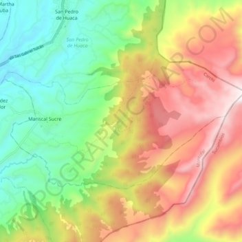
Name: Parroquia Mariscal Sucre topographic map, elevation, terrain.
Location: Parroquia Mariscal Sucre, San Pedro de Huaca, Carchi, Équateur (0.56672 -77.74931 0.61893 -77.65559)
Average elevation: 3,327 m
Minimum elevation: 2,758 m
Maximum elevation: 4,063 m