
Fanafo topographic map
Interactive map
Click on the map to display elevation.
About this map
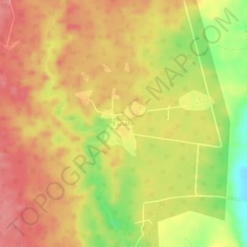
Name: Fanafo topographic map, elevation, terrain.
Location: Fanafo, Sanma, Vanuatu (-15.42061 167.08752 -15.38061 167.12752)
Average elevation: 161 m
Minimum elevation: 104 m
Maximum elevation: 193 m
Other topographic maps
Click on a map to view its topography, its elevation and its terrain.
Aore Island
Vanuatu > Sanma > Luganville
Aore Island, Luganville, Sanma, Vanuatu
Average elevation: 33 m