
Colán topographic map
Interactive map
Click on the map to display elevation.
About this map
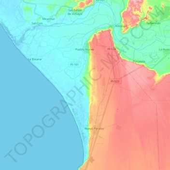
Name: Colán topographic map, elevation, terrain.
Location: Colán, Provincia de Paita, Departamento de Piura, Perú (-5.05651 -81.15186 -4.85034 -81.01689)
Average elevation: 34 m
Minimum elevation: -2 m
Maximum elevation: 110 m