
새롬동 topographic map
Interactive map
Click on the map to display elevation.
About this map
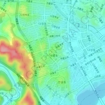
Name: 새롬동 topographic map, elevation, terrain.
Location: 새롬동, Sejong, Corea del Sur (36.47797 127.23947 36.49476 127.27314)
Average elevation: 44 m
Minimum elevation: 10 m
Maximum elevation: 143 m