
倪家营镇 topographic map
Interactive map
Click on the map to display elevation.
About this map
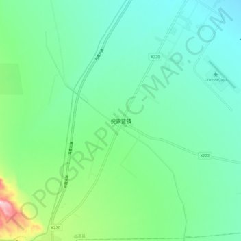
Name: 倪家营镇 topographic map, elevation, terrain.
Location: 倪家营镇, 临泽县, 张掖市, 甘肃省, 734200, 中国 (38.99073 100.08543 39.07073 100.16543)
Average elevation: 1,601 m
Minimum elevation: 1,513 m
Maximum elevation: 1,901 m
Other topographic maps
Click on a map to view its topography, its elevation and its terrain.