Geolocate

Silver Lake topographic map

Click on the map to display elevation.

About this map

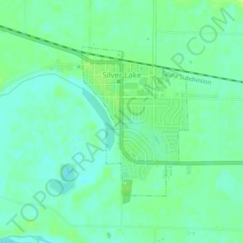
Name: Silver Lake topographic map, elevation, terrain.

Location: Silver Lake, Shawnee County, Kansas, United States (39.09066 -95.86433 39.10729 -95.84908)

Average elevation: 278 m

Minimum elevation: 271 m

Maximum elevation: 287 m

Other topographic maps

Click on a map to view its topography, its elevation and its terrain.

Topeka

United States > Kansas > Shawnee County > Topeka

Average elevation: 305 m

Berryton

United States > Kansas > Shawnee County

Average elevation: 315 m

Dover

United States > Kansas > Shawnee County

Average elevation: 328 m

Gear up for your next adventure:

📸Action Cameras - Record your journey across interesting topographic features in 4K
🔦LED Torches - LED torches for outdoor use
🍶Collapsible Water Bottles - Save space in your pack as you consume your water supply
🧼Clip-on Hand Sanitizer - Maintain hygiene when water for washing is scarce
🧣Merino Neck Gaiters - Versatile headwear for warmth, sun protection, or dust filtering

As an Amazon Associate, this site earns from qualifying purchases at no extra cost to you.